Active-Site Progress
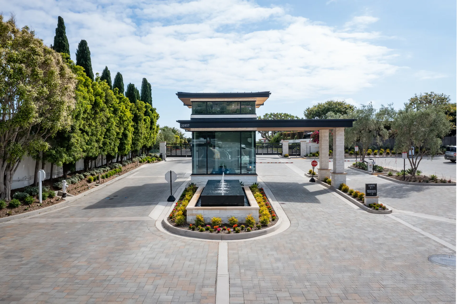
Aerial views can document changing site conditions, building progress, exterior work, and large-scale development.
See the whole site
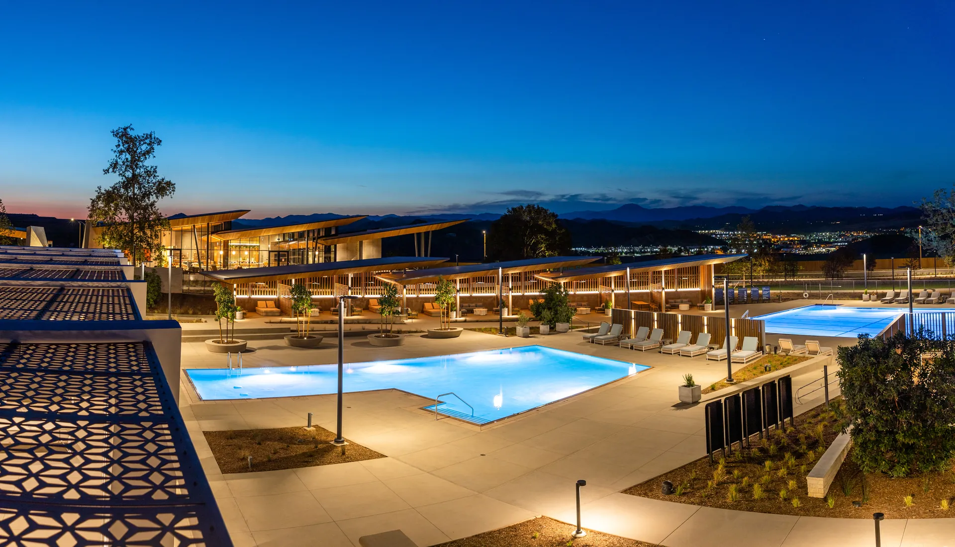
Aerial imagery gives project teams a broader view of the site and its surroundings. It can complement detailed ground photography with an overall perspective on layout, development, exterior progress, and completed architecture.
Construction applications
Aerial views can document changing site conditions, building progress, exterior work, and large-scale development.
Similar aerial viewpoints over time create useful visual comparisons as the project changes.
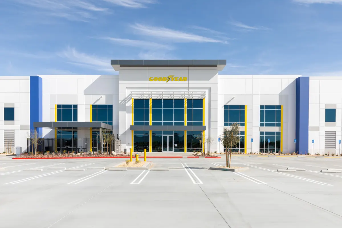
Finished-project aerials provide context for the completed building, property, surrounding site, and overall scale.
Ground + aerial
Shows details, interiors, installations, materials, spaces, and conditions at human scale.
Shows site relationships, overall scale, exterior progress, context, and perspectives that are not available from the ground.
Ground and aerial photography are complementary tools, not interchangeable ones.
Selected aerial work